The European Space Agency will use its powerful satellite for monitoring weather conditions to enhance marine safety. This will benefit the Arctic as the CryoSat is designed for measuring thickness of ice.

ESA's CryoSat mission has been gathering detailed information on the thickness of Earth's ice since its launch in 2010.
Through international collaboration, this state-of-the-art mission will broaden to monitor the weather.
With the satellite, scientists now have data to research and conclude about the understanding of the relationship between ice, climate, and sea level.
The CryoSat moves from pole to pole and will now measure the sea level and the height of waves.
From February, this new technology will start for this important work, which will benefit throughout the world.
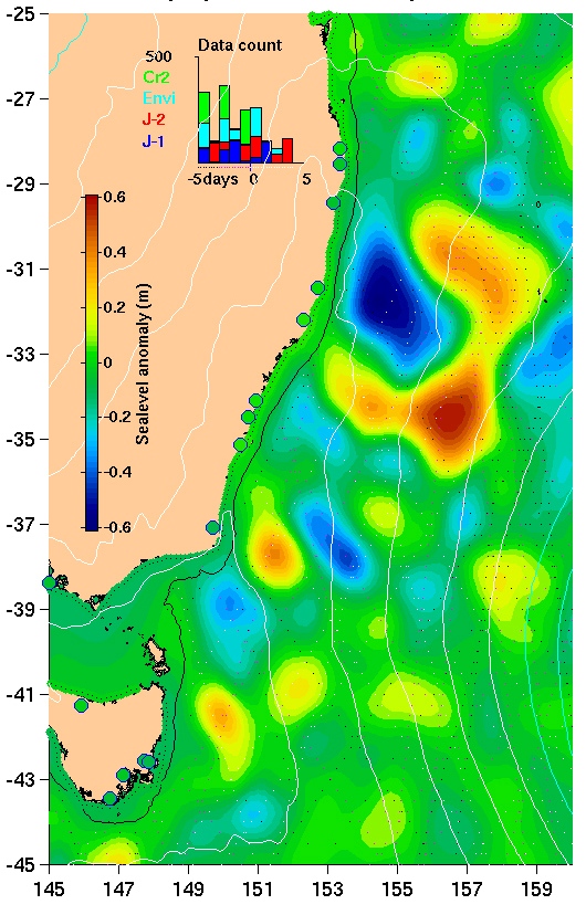
The image on the right shows measurements of sea level, when tested near Australia. The green is 0, but the yellow to red is high and light blue to dark blue below sea level.
Sources: European Space Agency
